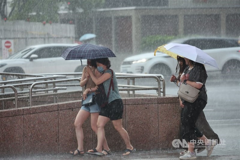
Taipei, Aug. 10 (CNA) Typhoon Dolphin has moved away from Taiwan and the Central Weather Administration (CWA) has lifted its sea warning for the storm, but southwesterly winds are still forecast to bring heavy rain to central and southern Taiwan in the coming days.
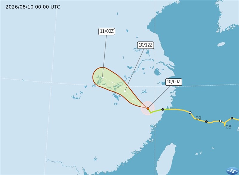
The CWA lifted its sea warning at 11:30 p.m. Sunday after Typhoon Dolphin weakened into a tropical storm and landed in China's Zhejiang Province.
With the storm no longer directly affecting the island, southwesterly winds and a broad low-pressure system began to dominate Taiwan's weather and will continue to do so over the next week, CWA forecaster Chu Mei-lin (朱美霖) said.
The seasonal winds and low-pressure system will bring intermittent showers and thunderstorms to central and southern Taiwan and afternoon thunderstorms elsewhere throughout the week, Chu said.
The CWA warned of short-duration heavy rain, lightning, strong wind gusts, and rapidly rising stream levels.
Sustained winds of 41-51 kilometers per hour (6 on the Beaufort scale) and gusts of 63-75 kph (8 on the Beaufort scale) are forecast Monday for areas from Chiayi north to Keelung's north coast, as well as the Hengchun Peninsula, Chu said.
Eastern Taiwan, on the leeward side of the Central Mountain Range, is expected to experience hot weather, she said.
Independent meteorologist Wu Der-rong (吳德榮) said Monday that the unstable weather is likely to persist through Aug. 19, although the southwesterly winds are expected to weaken after Wednesday.
Meanwhile, three tropical storms and one tropical depression were active over the northwestern Pacific.
Dolphin was continuing to weaken over Zhejiang, while Tropical Storm Chan-hom, the season's 15th named storm, is forecast to approach Japan's main island of Honshu on Tuesday and Wednesday, according to Wu.
Tropical Storm Peilou, the 16th storm of the season, is expected to track northeast over the ocean and pose no threat to land, he said.
- Business
Taiwan shares open lower
10/12/2026 09:20 AM - Politics
Shen holds 1st Taipei campaign motorcade; Chiang urges debate coordination
10/11/2026 08:39 PM - Society
Firefighters work to extinguish Miaoli trash dump fire
10/11/2026 07:58 PM - Politics
Lai's National Day speech steady, avoided provoking Beijing: Scholar
10/11/2026 06:53 PM - Society
Songshan: The ups and downs of Taipei's 'other airport'
10/11/2026 06:36 PM