INTERVIEW/Sharper eyes: Taiwan Formosat-8 to improve disaster relief, security
11/18/2025 05:59 PM
Facing the need for more precise information to counter the frequent natural disasters and security risks it faces, Taiwan is turning to a new satellite constellation to deliver faster, clearer images to support key government functions.
(Full text of the story is now in CNA English news archive. To view the full story, you will need to be a subscribed member of the CNA archive. To subscribe, please read here.)
More in INTERVIEW
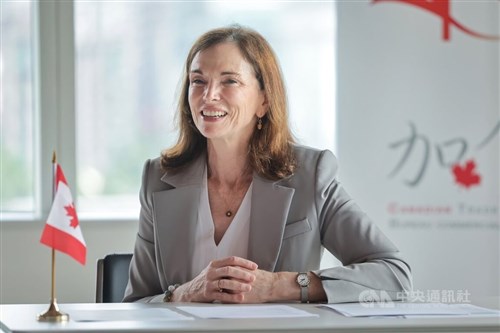
![Canada's Taiwan policy unchanged, engages Taipei on own merits: Envoy]() Canada's Taiwan policy unchanged, engages Taipei on own merits: EnvoyCanada's long-standing framework to interact with Taipei "has not changed," Canada's representative to Taiwan, Marie-Louise Hannan, said Monday amid concerns in Taipei over Mark Carney's ongoing efforts to improve relations with China.07/01/2026 11:17 AM
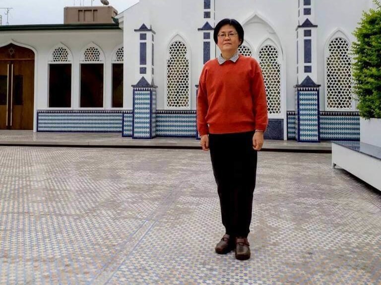
Canada's Taiwan policy unchanged, engages Taipei on own merits: EnvoyCanada's long-standing framework to interact with Taipei "has not changed," Canada's representative to Taiwan, Marie-Louise Hannan, said Monday amid concerns in Taipei over Mark Carney's ongoing efforts to improve relations with China.07/01/2026 11:17 AM![Scholar uses rare skill to decode work shining light on Taiwan's past]() Scholar uses rare skill to decode work shining light on Taiwan's pastWhen Taiwanese scholar Chang Shoou-huey (張守慧) realized that a 350-year-old travelogue of Taiwan written in an obsolete form of German existed, she saw it as a unique opportunity to apply years of specialized training.06/22/2026 04:48 PM
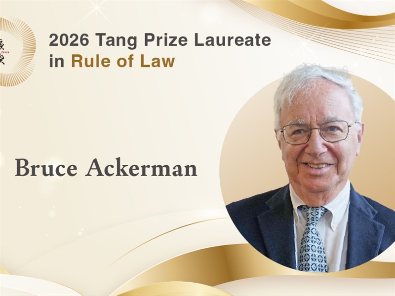
Scholar uses rare skill to decode work shining light on Taiwan's pastWhen Taiwanese scholar Chang Shoou-huey (張守慧) realized that a 350-year-old travelogue of Taiwan written in an obsolete form of German existed, she saw it as a unique opportunity to apply years of specialized training.06/22/2026 04:48 PM![U.S. democracy faces unprecedented threat under Trump: Tang Prize laureate]() U.S. democracy faces unprecedented threat under Trump: Tang Prize laureateRenowned American scholar Bruce Ackerman said he believes the United States is facing the gravest threat to its democracy in the country's history, as he reflected on receiving the 2026 Tang Prize in Rule of Law.06/18/2026 11:55 AM
U.S. democracy faces unprecedented threat under Trump: Tang Prize laureateRenowned American scholar Bruce Ackerman said he believes the United States is facing the gravest threat to its democracy in the country's history, as he reflected on receiving the 2026 Tang Prize in Rule of Law.06/18/2026 11:55 AM
Latest
- Politics
Premier orders Central Union oil tests completed within a week
07/13/2026 09:28 PM - Society
2 more batches of edible oil found to contain excessive carcinogen
07/13/2026 06:41 PM - Business
Taiwan shares end flat as initial gains eroded
07/13/2026 05:45 PM - Society
TFDA denies rumors about apple pesticide limits
07/13/2026 05:35 PM - Business
Consumers expect living costs to rise 8.8% over next year: Academia Sinica
07/13/2026 05:11 PM